
The Biesiesvlei Padstal on the N14 towards Delareyville.
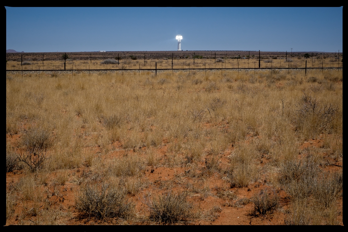
The 50MW Khi Solar One solar thermal power plant outside upington in the Northern Cape.

Augrabies Falls in the Northern Cape.

Augrabies Falls in the Northern Cape at the height of the drought.
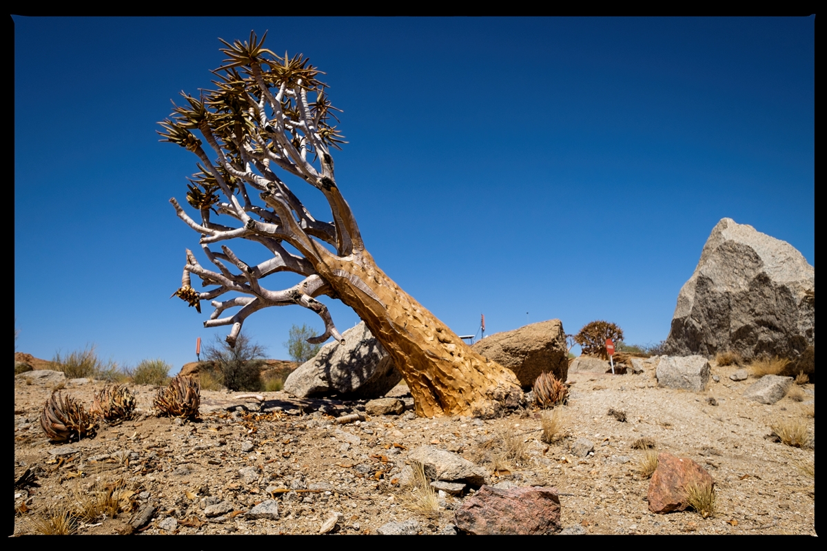
Quiver trees and the Northern Cape go together like beer and braaivleis!
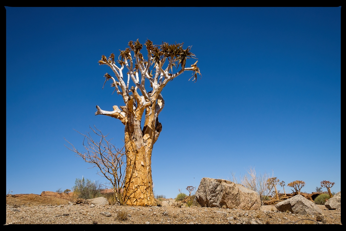
Quiver trees and the Northern Cape go together like beer and braaivleis!

Quiver trees and the Northern Cape go together like beer and braaivleis!

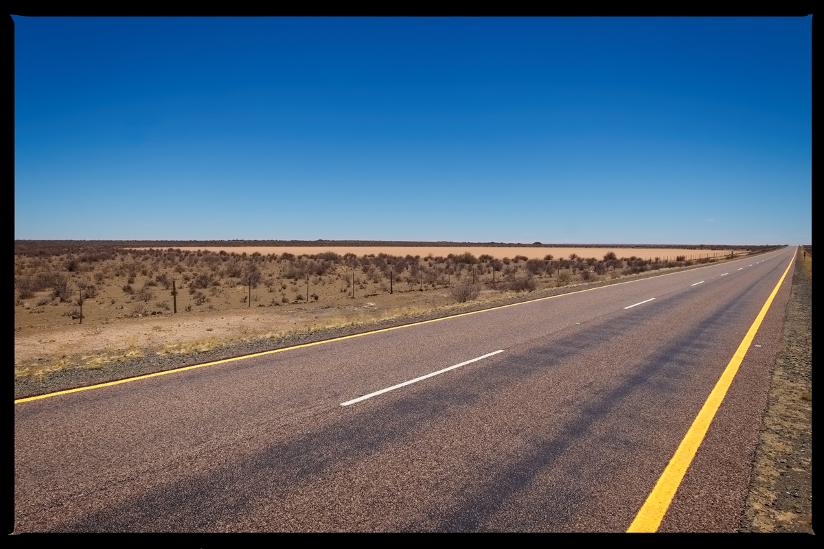
This is the R27 from Kakamas/Upington toward Kenhardt, Northern Cape.

An uninstalled manhole on the R27 from Kakamas/Upington toward Kenhardt, Nothern Cape.

This is the R27 from Kakamas/Upington toward Kenhardt, Northern Cape.

The view over Merweville in the Karoo.
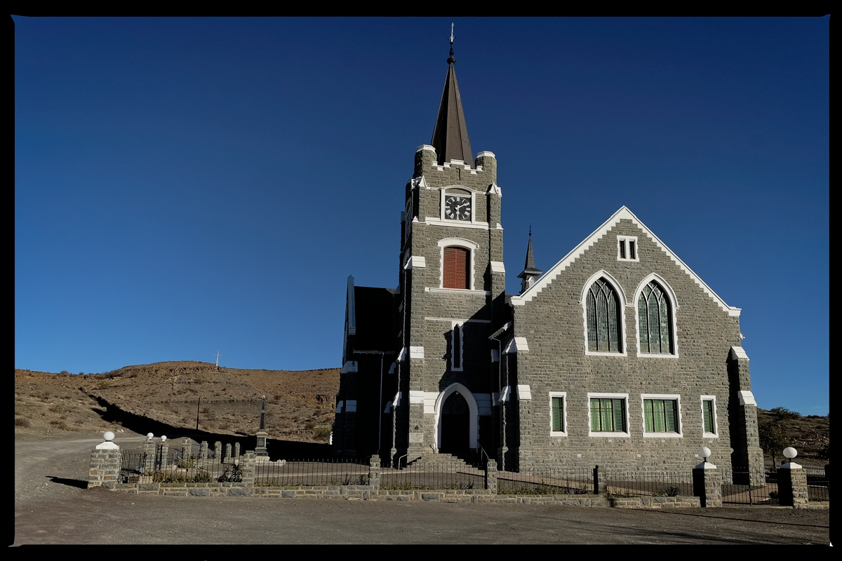
The local church in Merweville in the Karoo.

A road to nowhere, somewhere in the Karoo going past the farm Driewindpompfontein.

The Riviersonderend Mountain range outside Greyton, Western Cape.
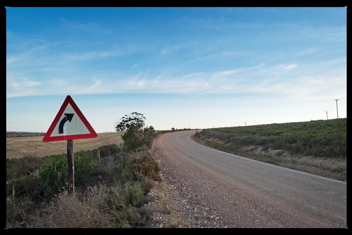
Keep right. Farmlands and road outside Greyton, Western Cape.

Stark reminders of the impact of the drought are visible throughout the Karoo.

A road to nowhere, somewhere in the Karoo between Merweville and Loxton.

Farmlands in the Overberg at dusk.
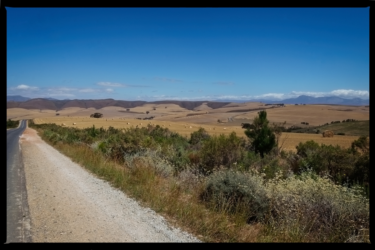
The Overberg, Western Cape.

A road to nowhere, somewhere in the Karoo between Merweville and Loxton.
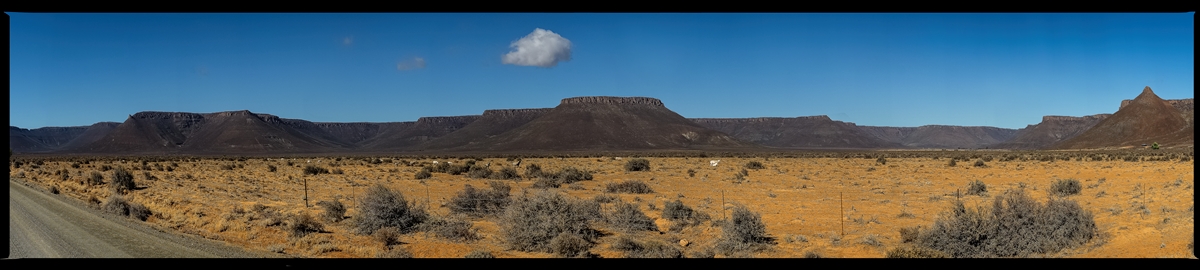
The Hantam Mountains, north of Calvinia as seen from the R27, Northern Cape.
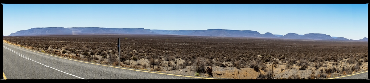
The Hantam Mountains, north of Calvinia as seen from the R27, Northern Cape.
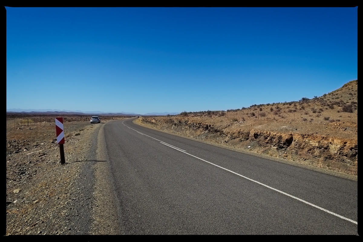
A road to nowhere, somewhere in the Karoo between Merweville and Loxton.

Merweville in the Karoo.

Dry pans at the height of the drought along the R27, Northern Cape.
Dry pans at the height of the drought along the R27, Northern Cape.
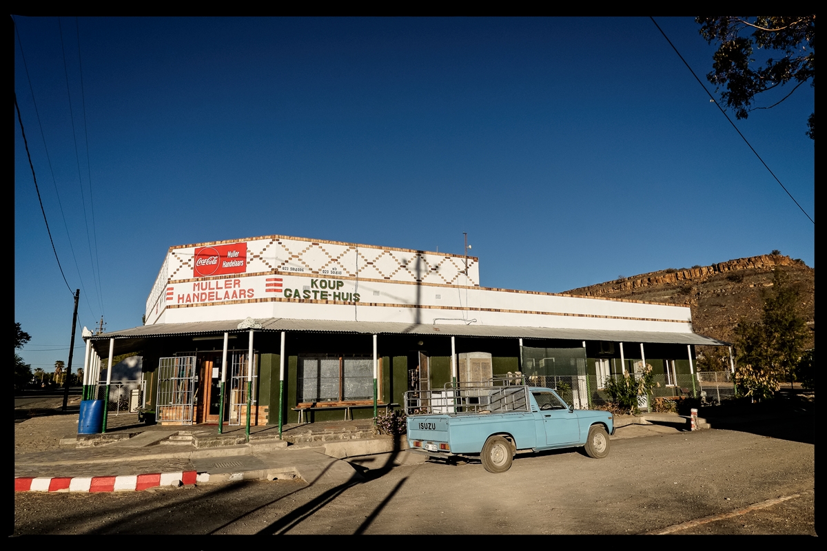
The local general dealer-cum B&B in Merweville in the Karoo.