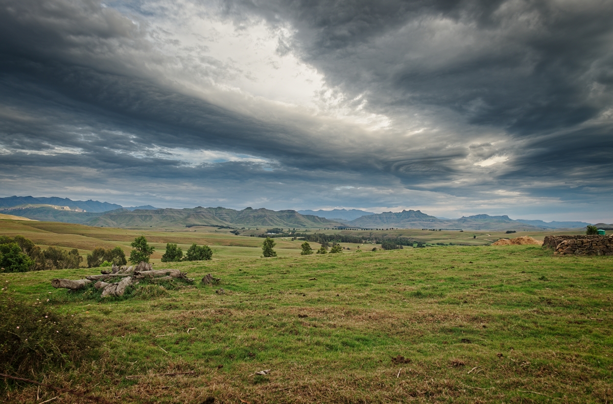
The view towards Lesotho from outside Underberg.

Passing through Himeville on the road to the Sani border post.

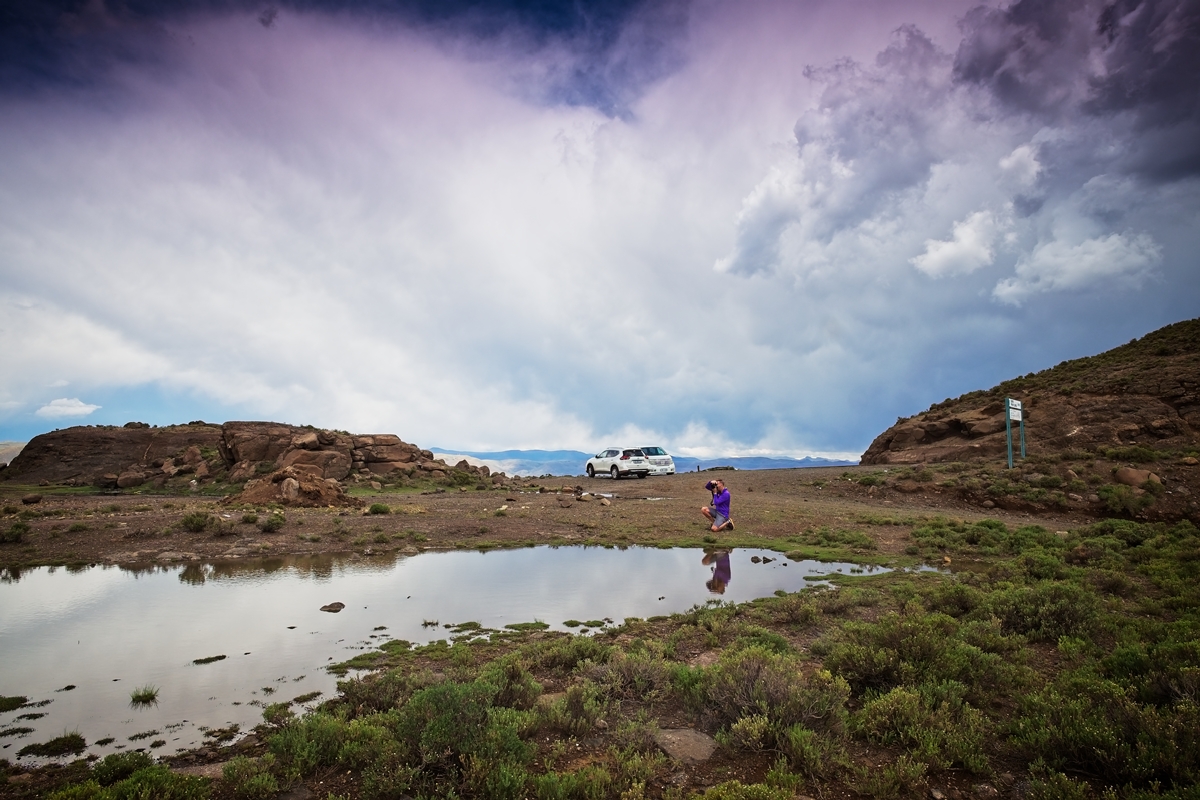
Lesser-spotted Canadian photographer in his natural habitat on the road through Himeville on the way to the Sani border post.
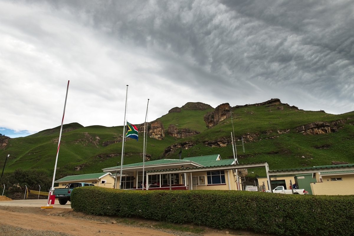
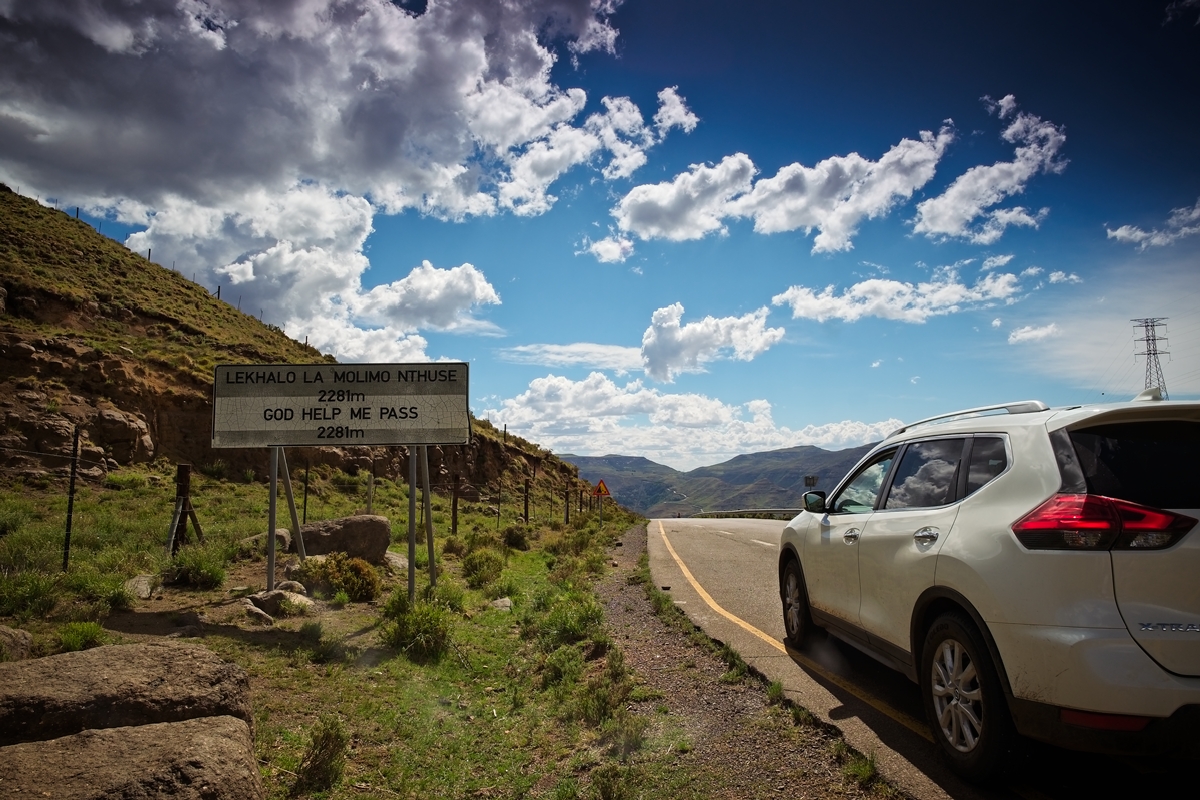
The SA border post before climbing the Sani Pass that rises 1 332 vertical metres to summit at 2 876m.

Leaving SA before climbing the Sani Pass.
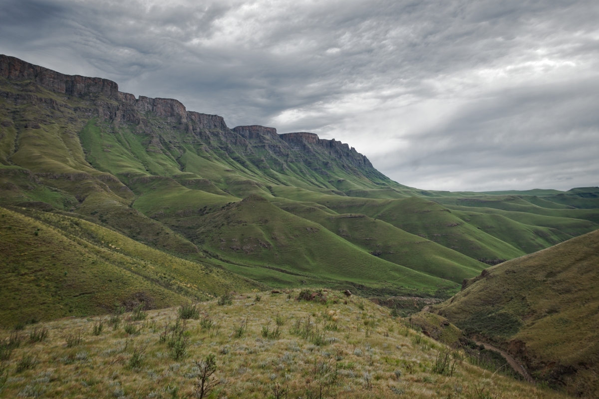
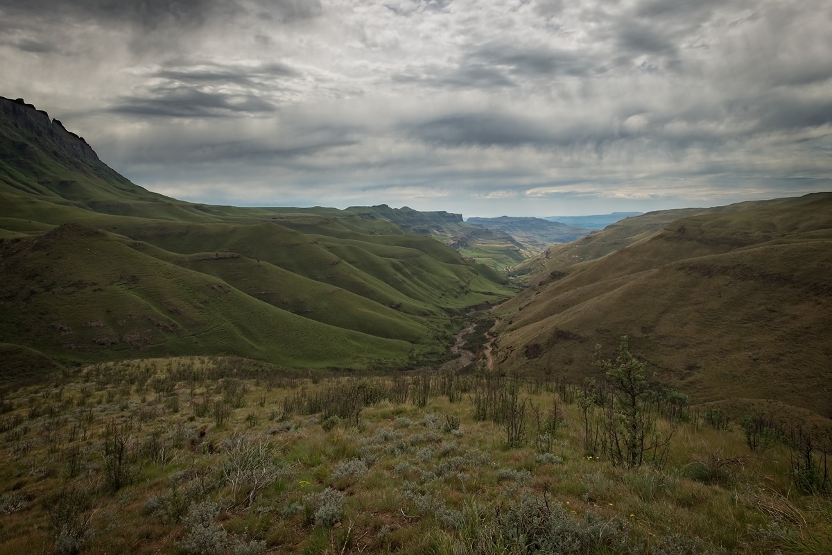
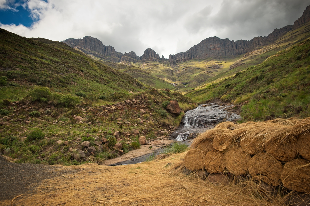
One of many splendid view of the Sani Pass.
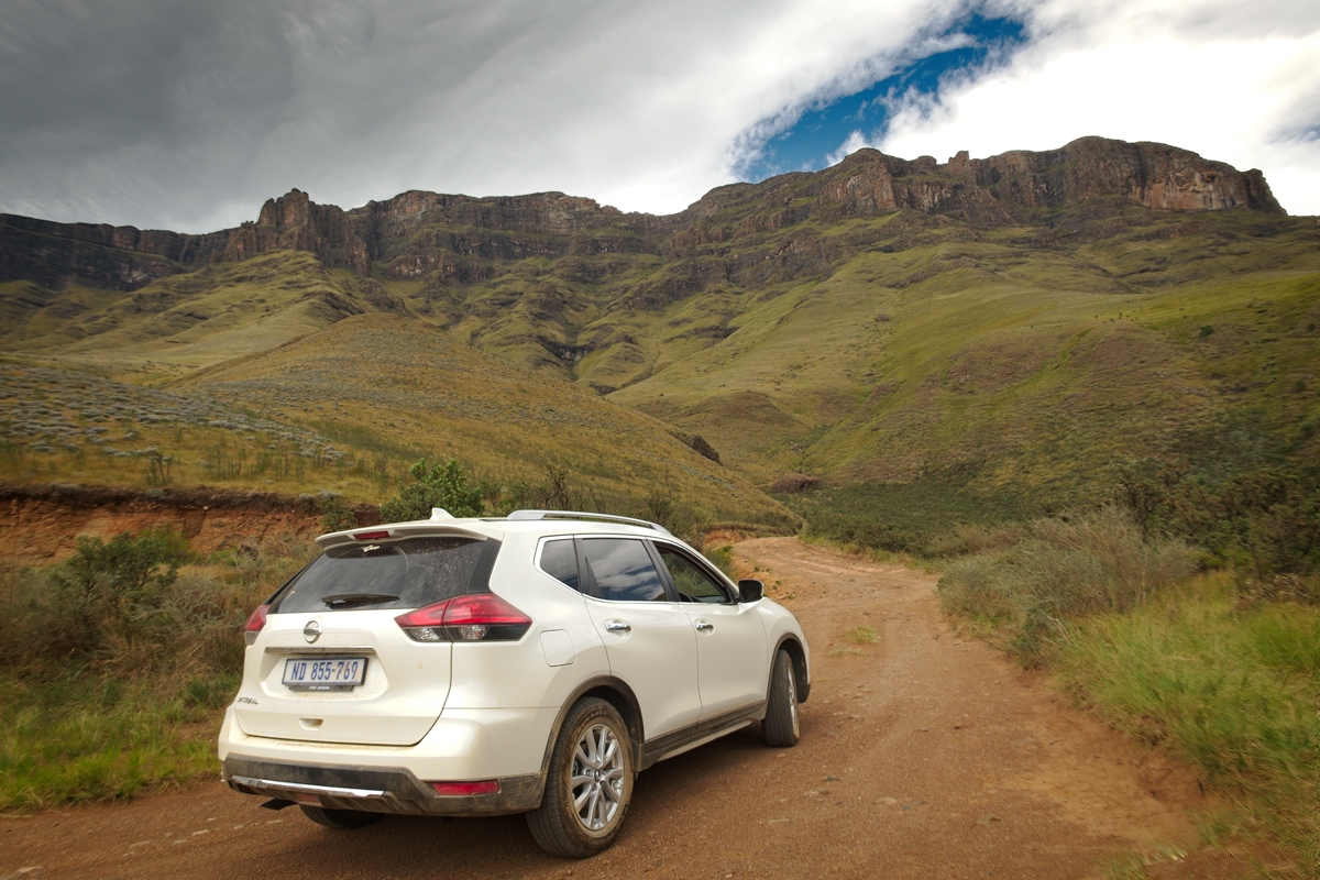
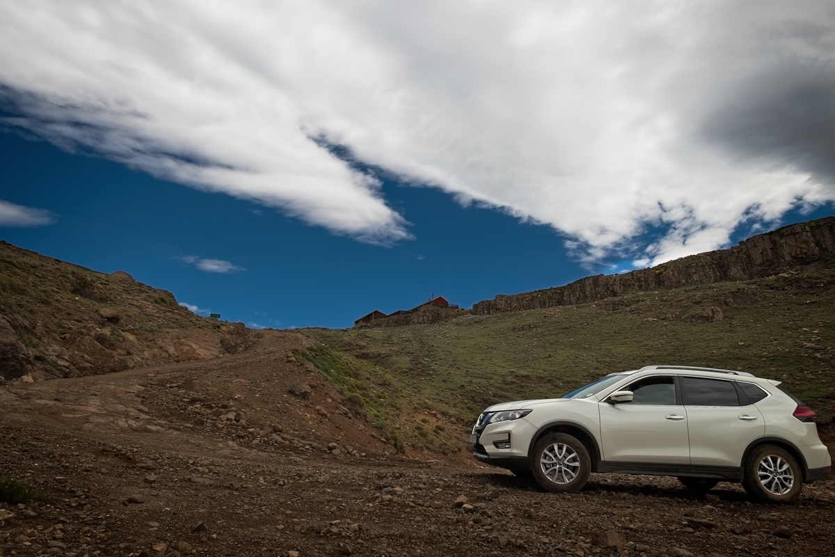
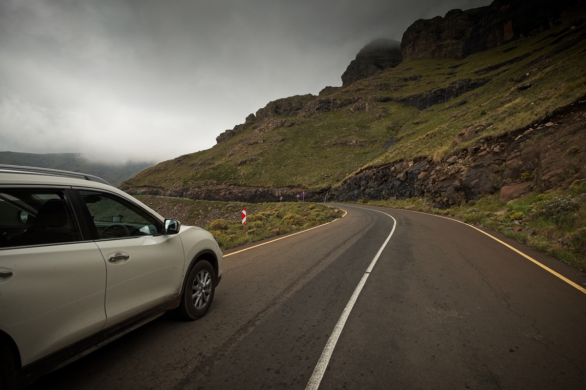
Our trusty rented X-trail bespying the mountain still to be climbed.
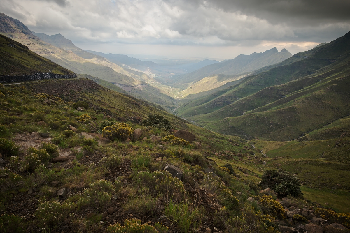
The view midway, down on to the Sani Pass.

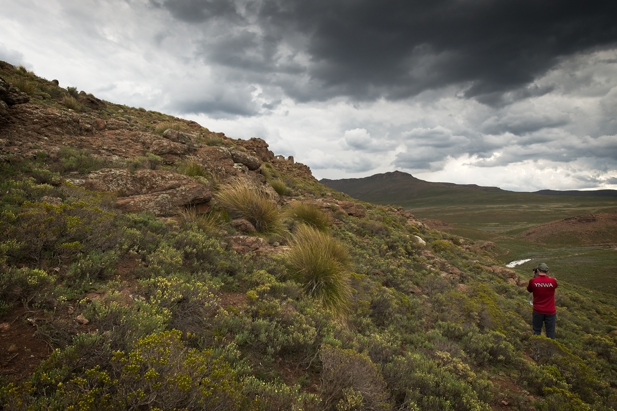
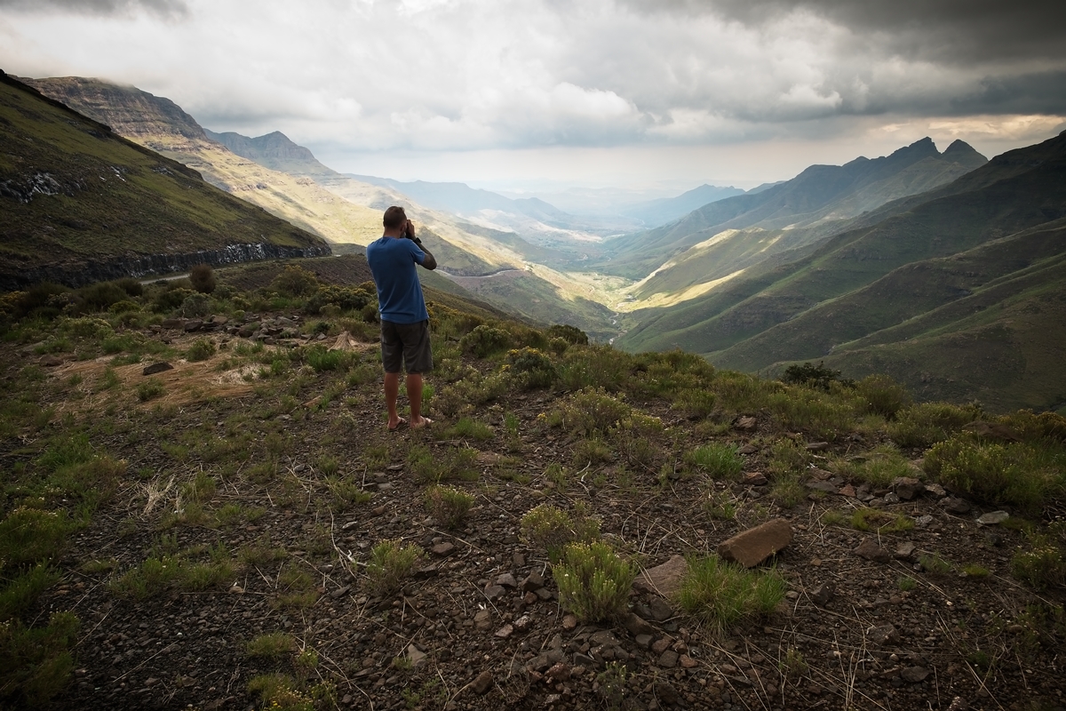
The lesser-spotted Canadian photographer in his natural habitat on the Sani Pass.
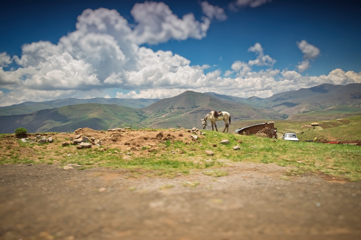
Looking toward Sani Pass on the road to Maliba Lodge.

The lesser-spotted Canadian photographer in his natural habitat at the top of Sani Pass at dawn.

Sani Pass top at dawn.
The lesser-spotted Canadian photographer in his natural habitat at Sani Stone Lodge.

Sani Pass.
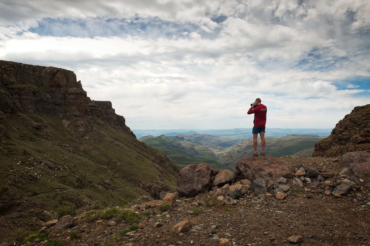
The lesser-spotted Canadian photographer in his natural habitat at the top of Sani Pass.

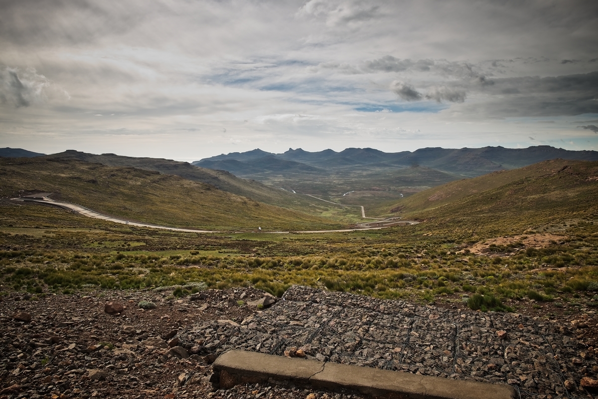
The view from the top of the pass.
The final stretch up to the Lesotho border post, and the Sani Mountain Lodge that has the highest pub in Africa.

Sani Pass.
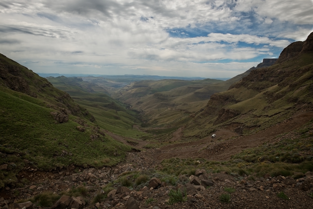
The view from the top of the pass, with one tour guide vehicle climbing the last, most challenging section.

On the road to Maliba Lodge from Sani Pass.
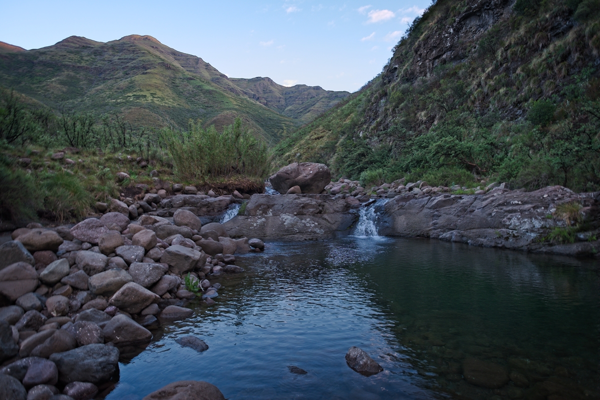
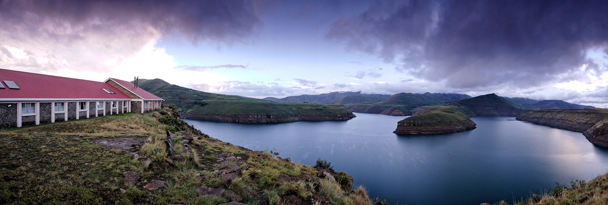
Rockpool at Maliba Lodge, which is in the Tsehlanyane National Park.
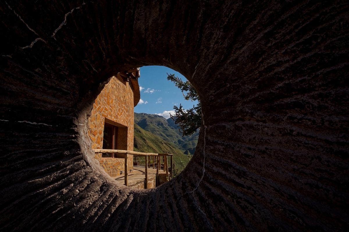
Maliba Lodge – located in the Tsehlanyane National Park.

Just some random waterfall along the awe-inspiring drive from Maliba Lodge to Katse Dam.

Just some random waterfall along the awe-inspiring drive from Maliba Lodge to Katse Dam.
Just some random waterfall along the awe-inspiring drive from Maliba Lodge to Katse Dam.

The lesser-spotted Canadian photographer in his natural habitat en route to Katse Dam.
The view on the road from Maliba Lodge to Katse Dam.
The lesser-spotted Canadian photographer in his natural habitat en route to Katse Dam.
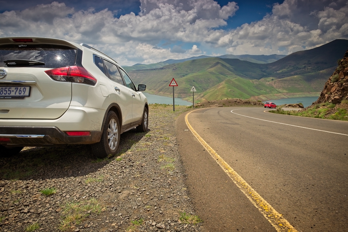
Our trusty rented X-trail eyeing the bends. There are many bends in Lesotho.

Our first view of Lesotho Highlands Water Project that feeds Katse Dam.
Just Lesotho.
Our trusty rented X-trail not overly concerned about the warnings of snow at this time of year.

The seemingly never-ending, man-made Lesotho Highlands Water Project that feeds Katse Dam.

The lesser-spotted Canadian photographer in his natural habitat overlooking Lesotho Highlands Water Project that feeds Katse Dam.

Just more Lesotho Highlands Water Project. There’s a lot of it with a surface area of 38.5 square km.

The famed, 185m high Katse Dam wall that helps feed Gauteng with water and generates 72MW of electricity for Lesotho.
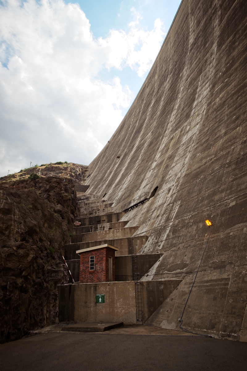
The Katse Dam wall up close.

Just more Katse Dam.

My room at the Katse Lodge.

Shot at dawn from the room at Katse Dam.
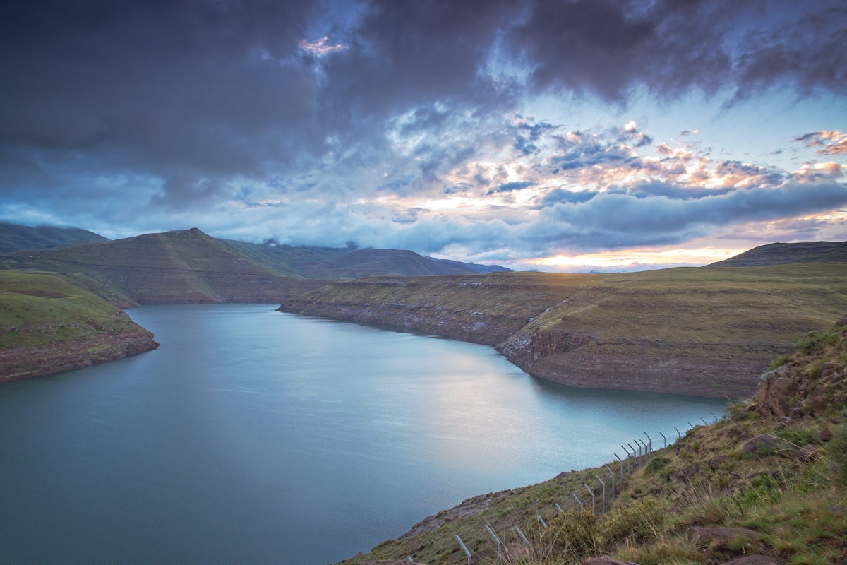
A magical morning view over Katse Dam.
A magical morning view over Katse Dam.

The lesser-spotted Canadian photographer in his natural habitat waiting for the sun to break through the clouds at Katse Dam.
This is the result when you stick your camera out the window on the road between Katse Dam and Semonkong Lodge.
The road between Katse Dam and Semonkong Lodge.
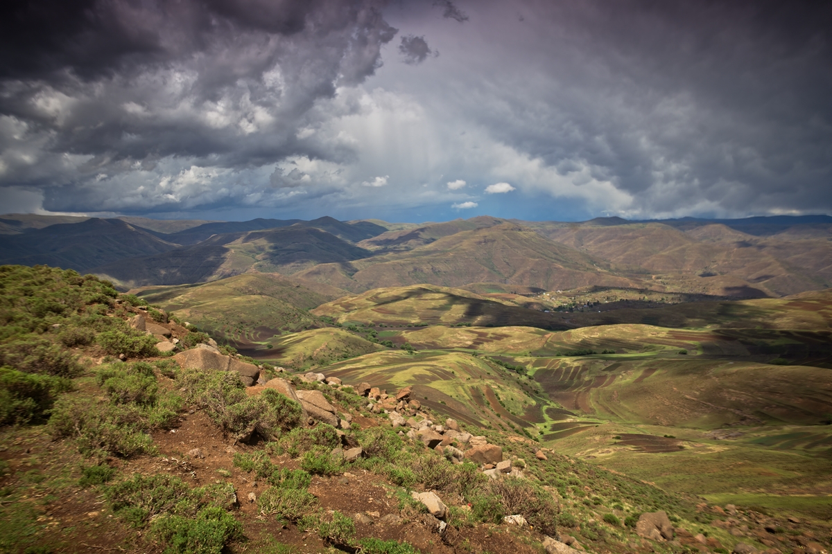
Clouds. Mountains. Valleys. Lesotho.

The road. Somewhere on the road to Semonkong Lodge from Katse Dam.
The lesser-spotted Canadian photographer in his natural habitat en route to Semonkong Lodge.

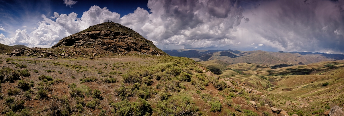
Just another mountain pass en route from Katse Dam to Semonkong Lodge.
We saw this on the map. Quite frankly, we expected more.
Early morning view from above Semonkong Lodge across the valley.
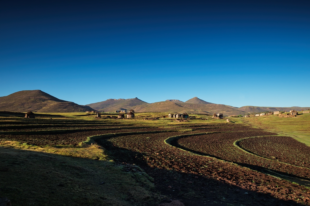
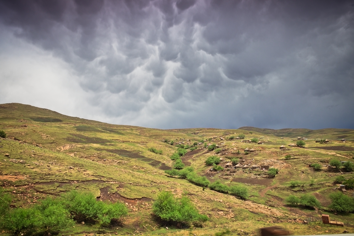
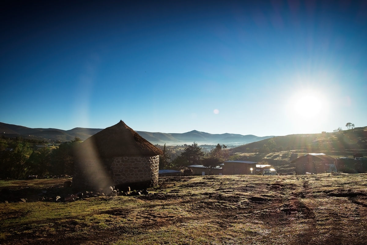
Semonkong Village – just a typical Lesotho scene.
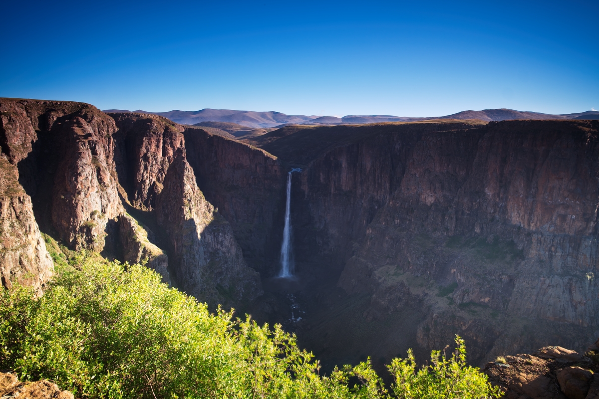
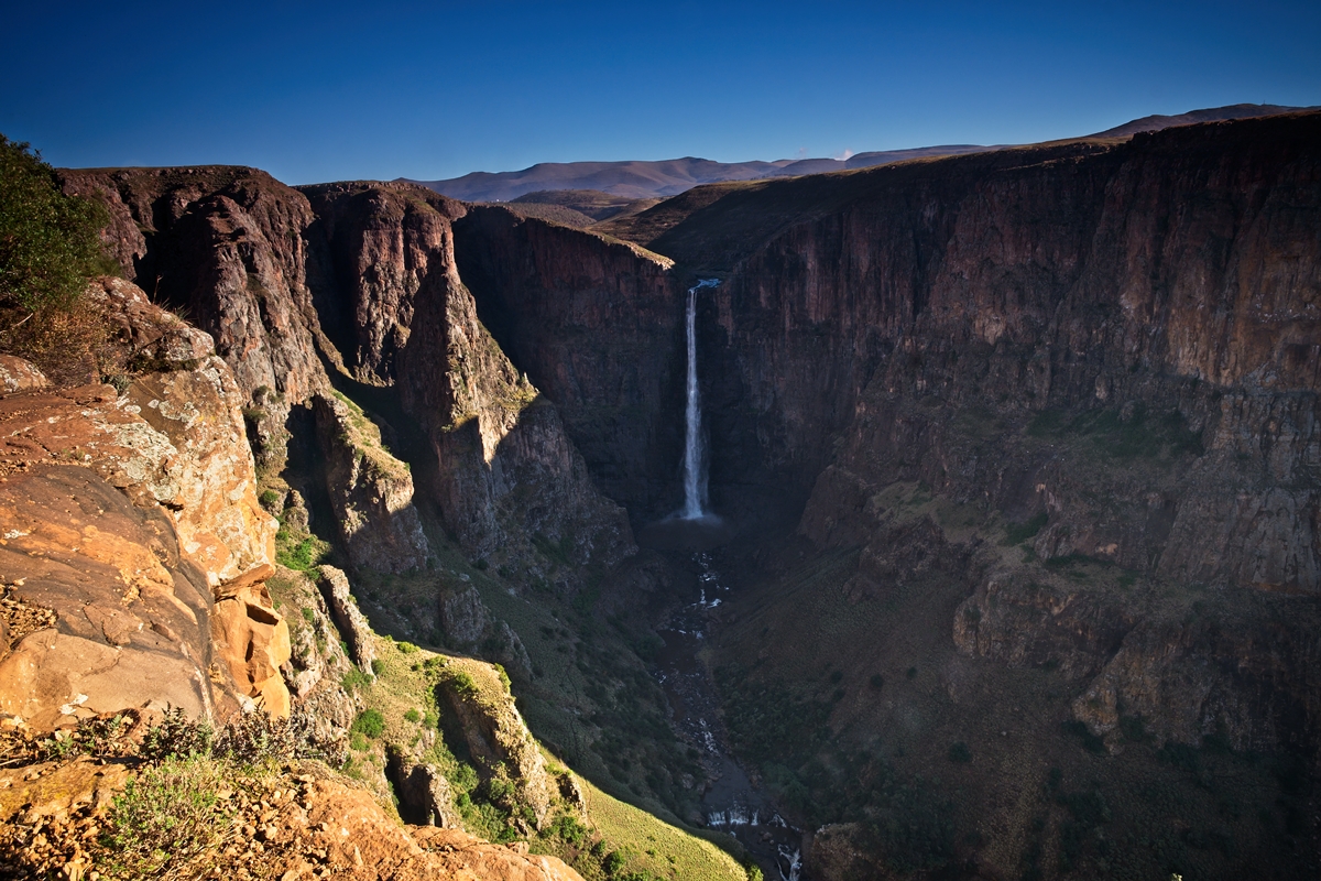
The Maletsunyane Falls, at 192m is one of the highest single-drop waterfalls in the southern hemisphere.
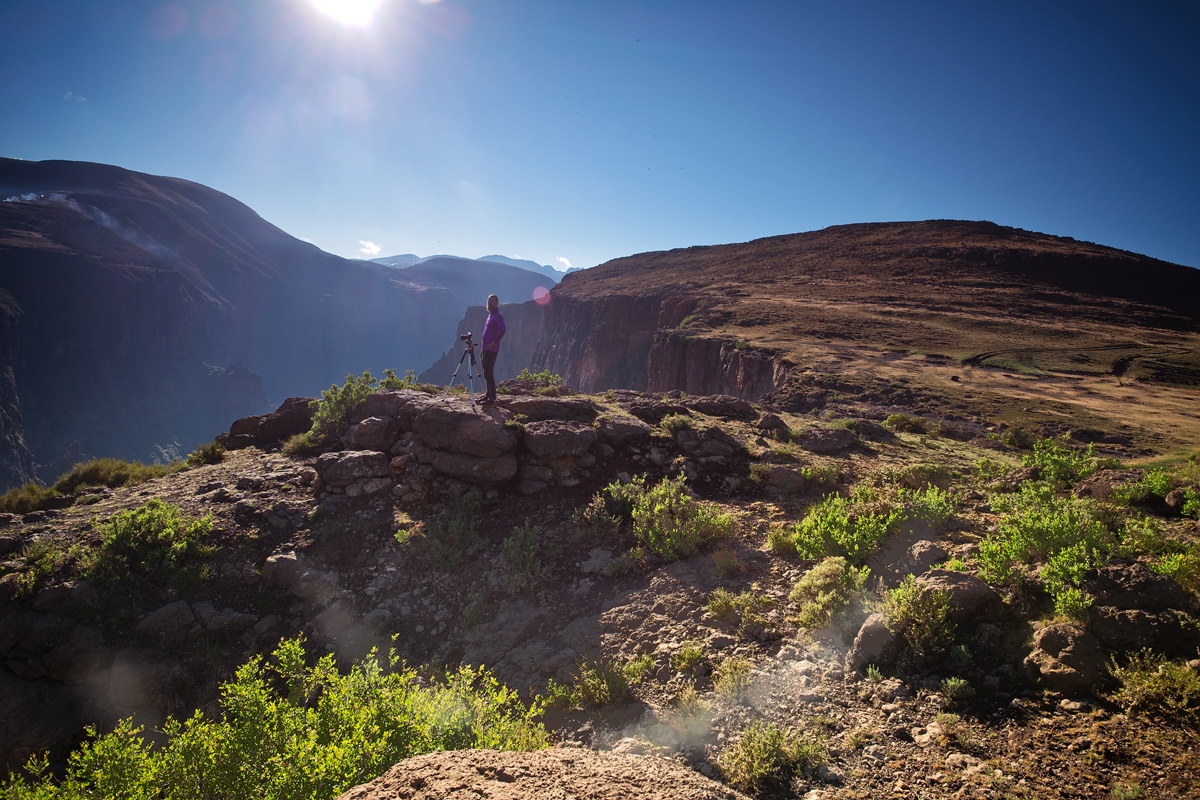
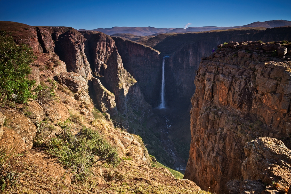
The lesser-spotted Canadian photographer in his natural habitat at Maletsunyane Falls.
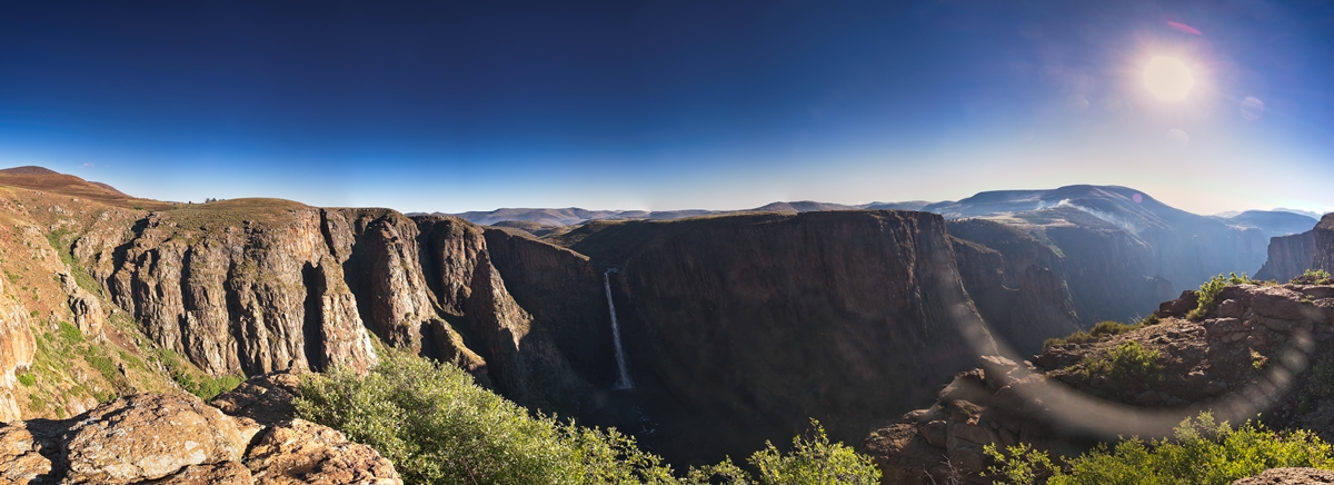
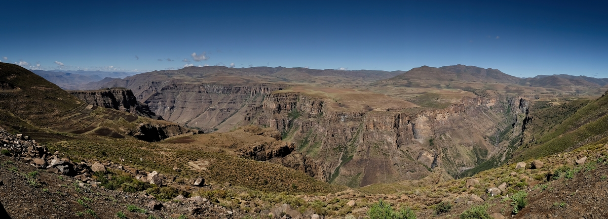
A panoramic of the Maletsunyane Falls.
The Maletsunyane River. Imagine waking up to that view every morning.
The Maletsunyane Falls.
The lesser-spotted Canadian photographer in his natural habitat at Maletsunyane Falls.
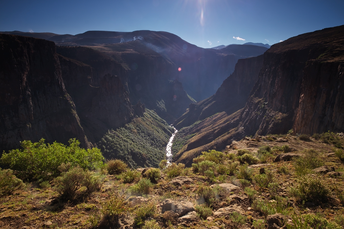
The view over the ravine through which the Maletsunyane River runs.

Cape Agulhas lighthouse.

Cape Agulhas lighthouse.
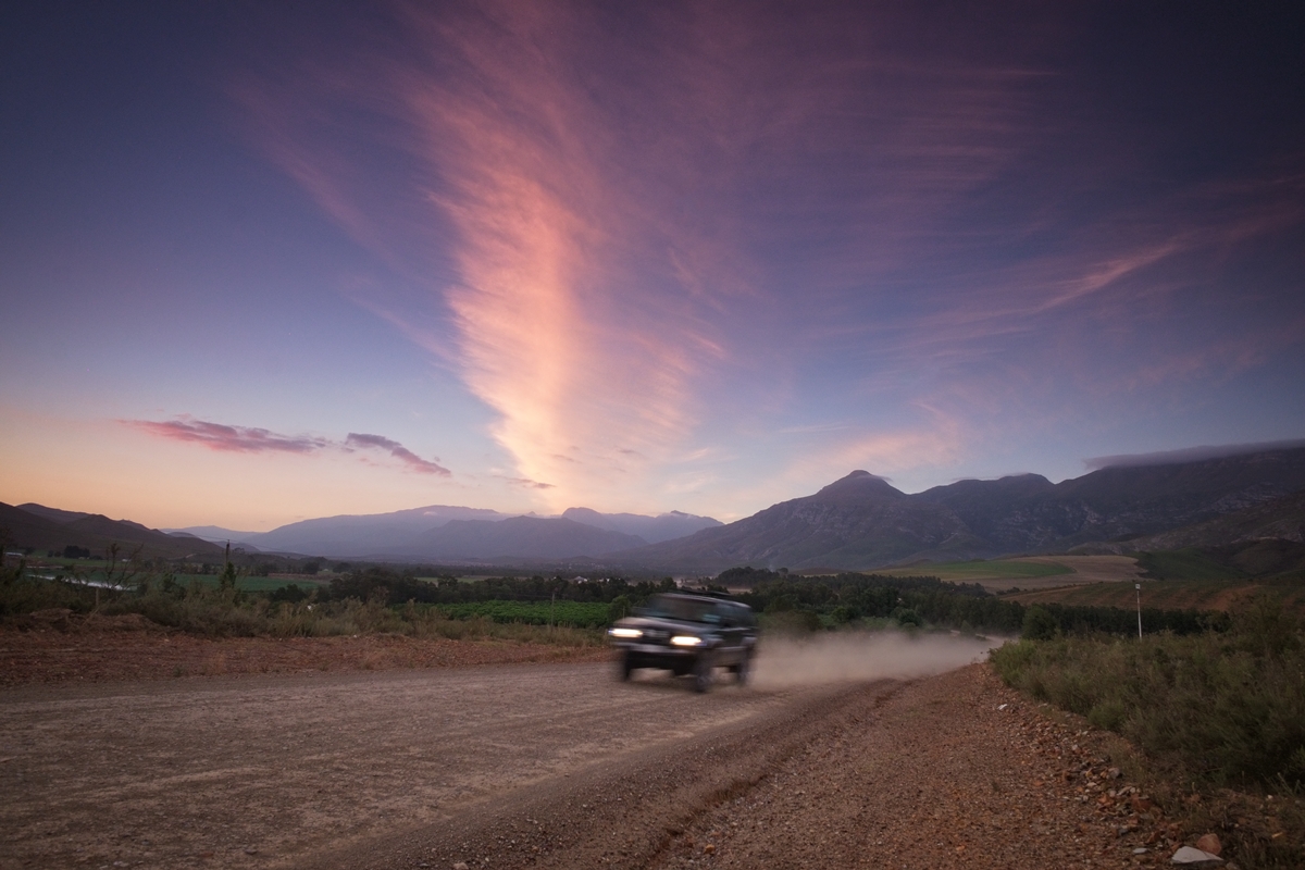
The lesser-spotted Canadian photographer in his natural habitat outside Greyton on Middleplaas road.
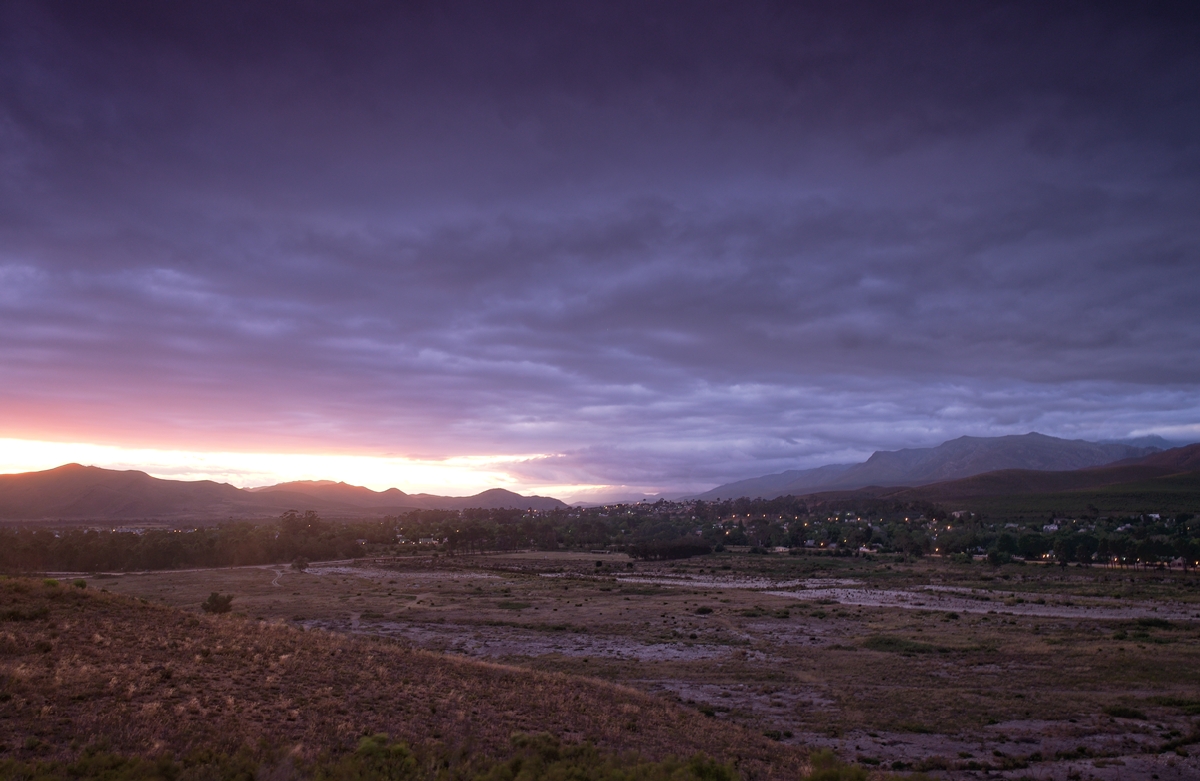
Greyton at dusk.

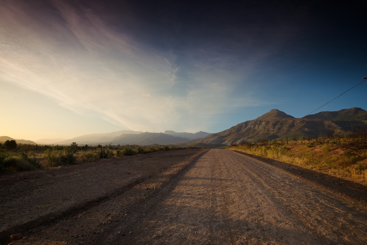
Outside Greyton where incredible photos are possible at every turn.
The Riviersonderend Mountains that surround Greyton.
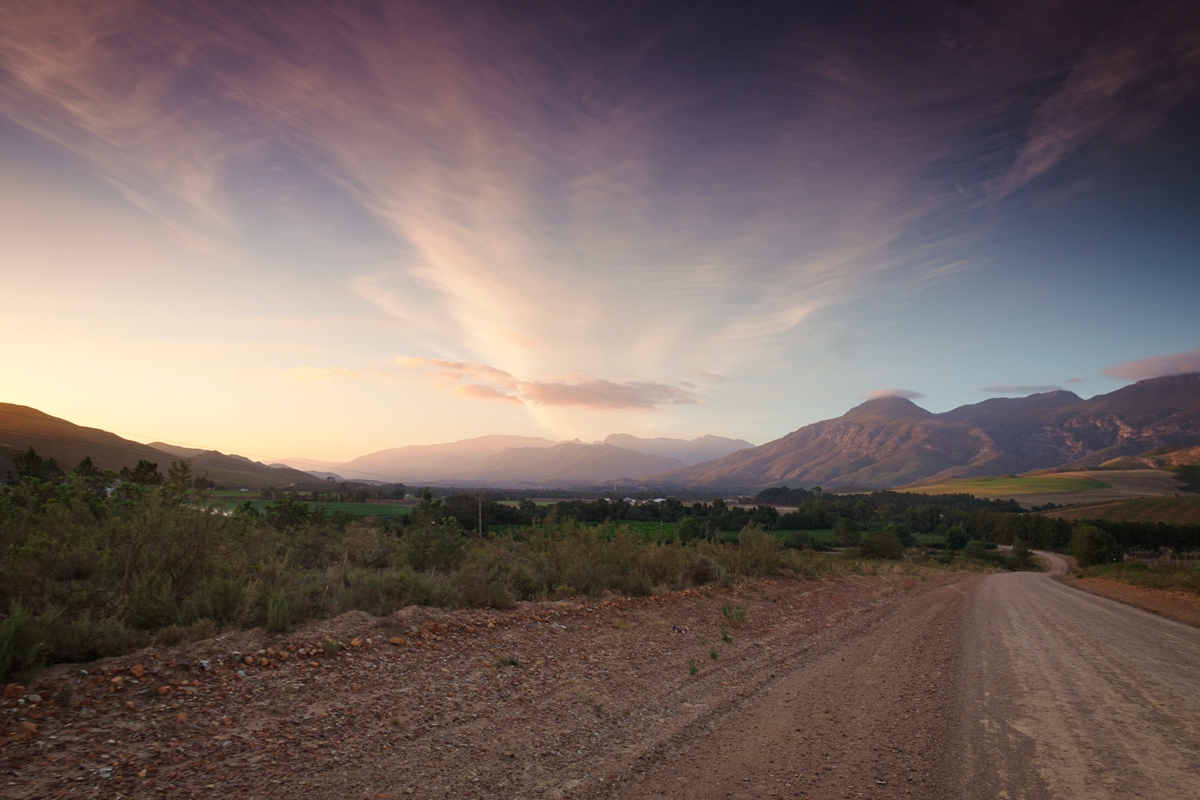
The Riviersonderend Mountains that surround Greyton.
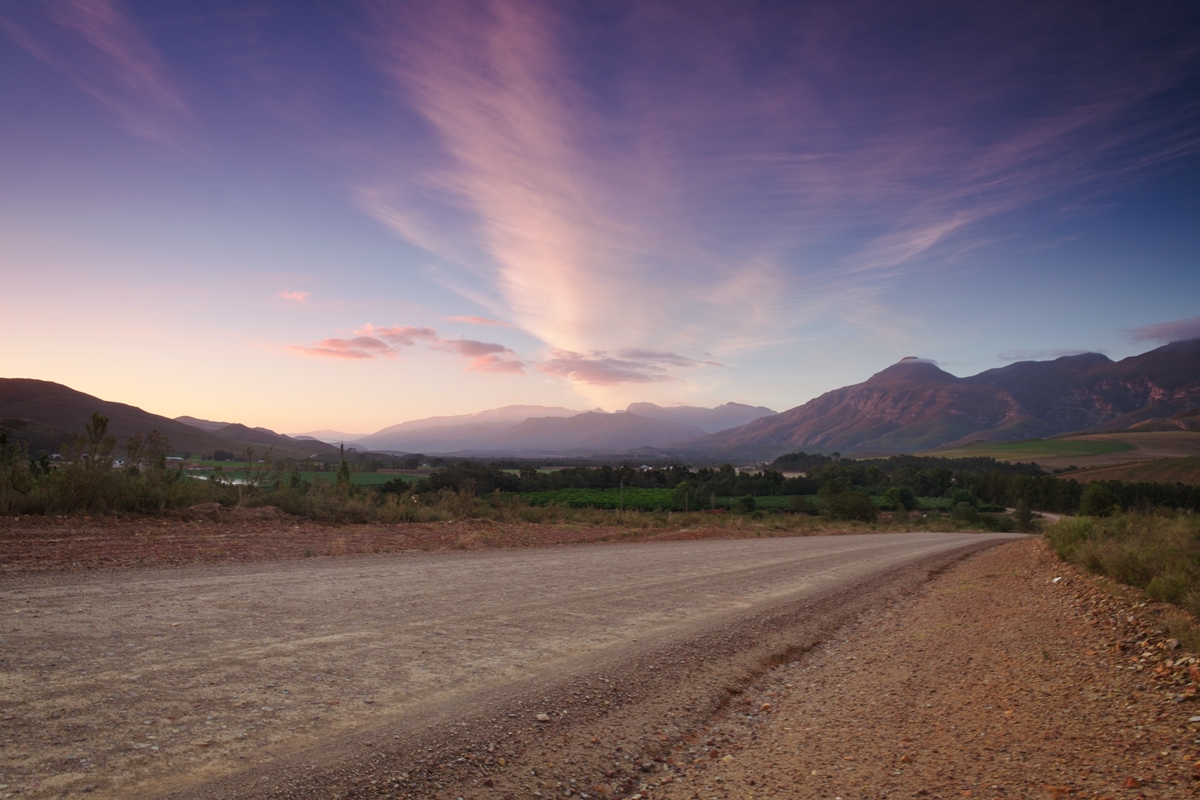
The Riviersonderend Mountains that surround Greyton.
The Riviersonderend Mountains that surround Greyton.